Overview
Summary about lake «Kagul»
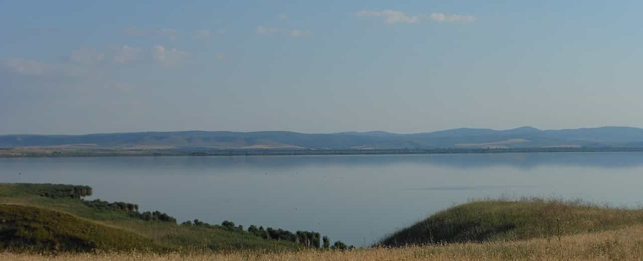
This is an extraordinary location that captures the heart from the very first sight. It’s often here that many tourists begin to feel a strong sense of patriotism, develop a special connection with their country, and feel inspired to preserve and enhance its natural treasures. It’s a perfect spot for those who seek breathtaking landscapes, peace, and quiet — far from the noise and bustle of city life. Notably, Kagul is a floodplain lake, connected by small channels to Lake Kartal and the Danube. The Danube is separated by a solid dam, which helps regulate the water level.
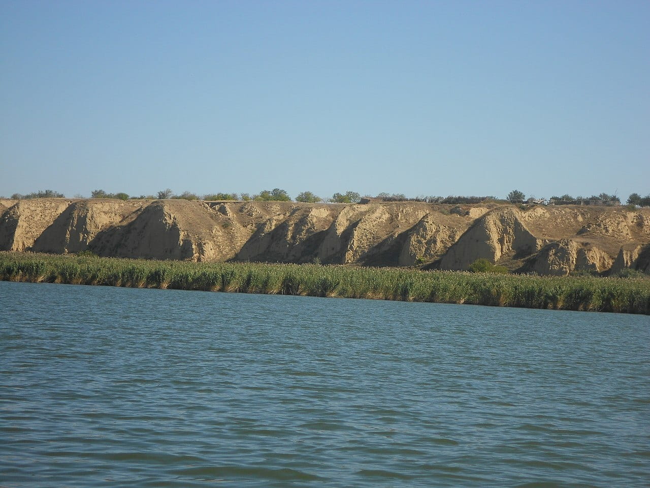
The climate here is generally warm, and summers are particularly hot and calm. Visitors can enjoy the clean steppe air that revitalizes the body and uplifts the spirit. Interestingly, Kagul is a popular nesting site for birds, which often settle on nearby limestone heights. Around the lake, you’ll find large cliffs, greenery, and reed thickets. However, when planning your trip, keep in mind the presence of mosquitoes—bring sprays and creams for protection.
The terrain around the lake consists of two levels. On the hill, there is a perfect spot for car parking with stunning views of the canyon, riverbanks, meadows, and a shepherd’s hut. The lowlands are characterized by green clearings and extensive reed areas. The lake is known for its cleanliness (perhaps due to its low tourist traffic), which also attracts wildlife. Fish is harvested here on an industrial scale, and on the Moldovan side, a functioning water pumping station supplies irrigation to local fields. In the past, the lake served as a reservoir.
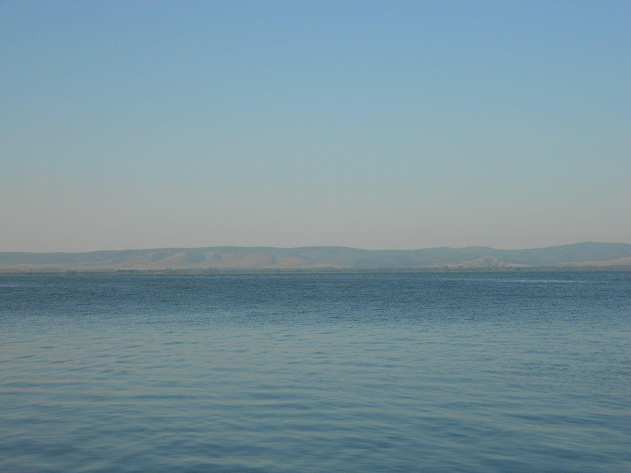
The water is mostly fresh and relatively clean. The lakebed is muddy, though sandy in shallow areas. The lake covers about 93.5 km² (season-dependent). Depths reach up to 7 meters in some spots, with an average of about 2 meters. In hot weather, water temperatures can reach 30°C, while in winter the lake may freeze entirely. The northern part of the lake is mountainous (15 km x 2 km), while the southern part is marshy (18 km x 11 km). Mineralization levels range from 0.8 to 1.5 g/L. Locals say the lake’s mud has therapeutic properties beneficial for skin, joints, and various ailments.
A small part of the lake (less than 1 km²) lies in Moldova. In autumn 2019, a 1,411-hectare nature reserve was established at Kagul. The lake also supports commercial fish farming, including species like white amur, bighead carp, and common carp. The area is known for poor mobile signal quality. Since it borders Romania and Moldova, devices may unexpectedly switch to roaming, so disabling this feature is advisable. Grass snakes inhabit the area but are harmless to humans.
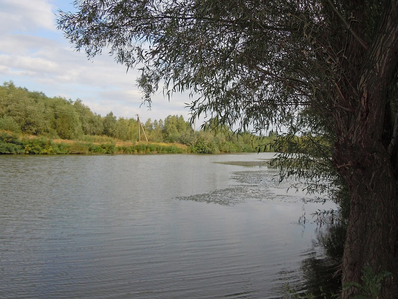
There are a few spots suitable for swimming and beach leisure, but there’s no developed infrastructure. The location is not ideal for families with small children. Visitors usually come for the day or overnight in tents with basic supplies. There are pleasant walking paths along the lake, and the sunsets here are stunning. It’s also a great spot for anglers seeking pike, bream, and other fish.
The closest village is Nahirne, with a few small shops and cafes. In Reni, check out the Admiral restaurant (Ukrainian and European cuisine), a quirky diner called "Offshore" (23 Ostrovskyi St.), banquet hall "Prestige" (156 Chervonoflotska St.), and the cozy "Old Town" restaurant. In Lymanske, there’s a nice cafe-bar "Iryna", and in Orlivka, try the "Bessarabian Home Cuisine" — known for its delicious food. Izmail, nearby, also offers many affordable dining options.
There are no hotels in Nahirne, only private rentals. For comfortable lodging, Reni (30 km away) offers good options like the "Khutorok" complex on Bolhrad Street and "House of Grace". In Izmail, consider the "Bessarabia" hotel and entertainment complex (Suvorov Avenue), "Premium Hotel", or "Green Hall". It’s best to check availability and rates a few days before your visit.
Lake Kagul is in Odesa Oblast, Reni District. From Odesa, take highway M15 (E87) for about 300 km to the village of Vynohradivka. From Orlivka (1 km southeast), take road T1629 along the lake’s shoreline to Nahirne, which lies right next to the water. It’s best to travel by car using navigation and coordinates: 45°22′17″N, 28°23'48″E. Train and air transport are available from Odesa, and you can reach Kagul by local or intercity buses.
| Location coordinates | 45°22'17.0"N 28°23'48.0"E |
| Area | 93.5 km² |
| Maximum depth | 7 meters |
| Average depth | 2 meters |
| Average annual water temperature | 14° С |
| Species of fish | bream, pike perch, catfish, pike, silver carp, carp, crucian carp, silver bream, perch, ruff |
| Approach by car | possibly |
| Number of people at the location | small |
| Additional entertainment | swimming, fishing, sailing |
| Cafe/shops/restaurants | none |
| The cost of the visit | free of charge |